| Emmitsburg Multi-User Trail System |
|
|
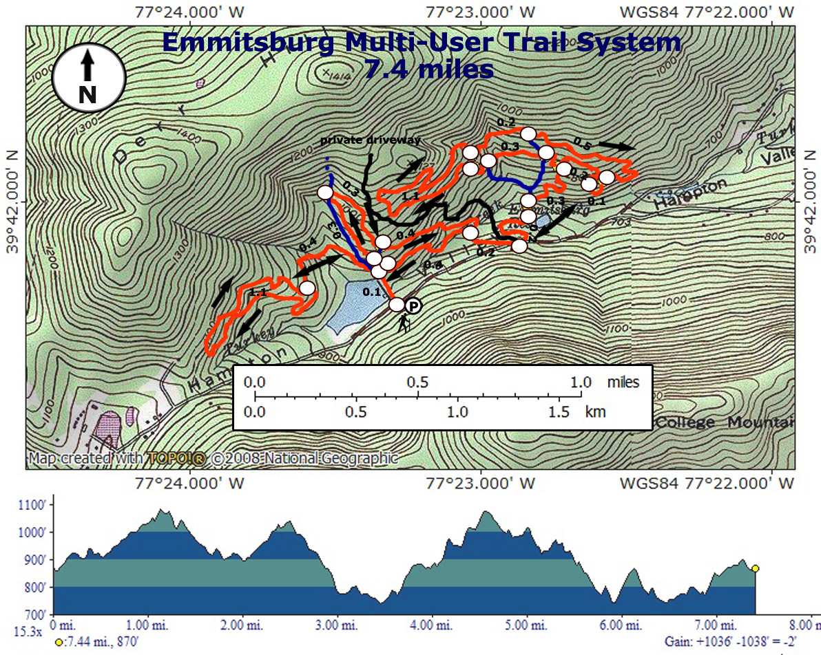
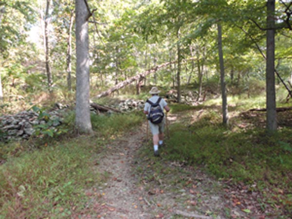
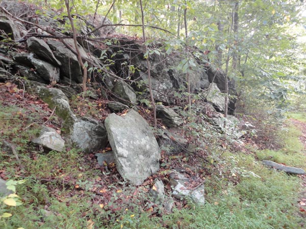
Description: I have to give kudos to the town of Emmitsburg, the folks at MORE, The Trail Conservancy and the many volunteers from local clubs and businesses for all of their efforts. Over 800 man hours from local and regional volunteers were involved. I�d also like to thank Single Tracks Futures and the Recreational Trail Program who provided significant funding. You all deserve a pat on the back! What these folks have created is an interconnected series of three loop trails, all machine made � four foot wide and a joy to walk on. They are so new they do not have names yet. This hike covers all of them. You can do all or part of them. What I will call the West Loop for now is the shortest and easiest. There is little in the way of elevation gain or rocks. The Central Loop is steeper and has a few more rocks. The Eastern Loop is the longest and rockiest of the three and has a bit of a roller coaster feel to it but the use of well placed switchbacks make the climbs effortless.
Google Maps Custom Driving Directions
Do not park on the maintenance loop. Please use the shoulder. The trails are open for hiking and biking on Sundays only during hunting season. Effective 2014 hunting will be allowed on Sundays through the 2nd Sunday of January, 2015 so the trails will be closed 7 days/week until then. |
|
________________________________________ |
|
Zipped National Geographic. TOPO! GPS and Universal GPX Files |
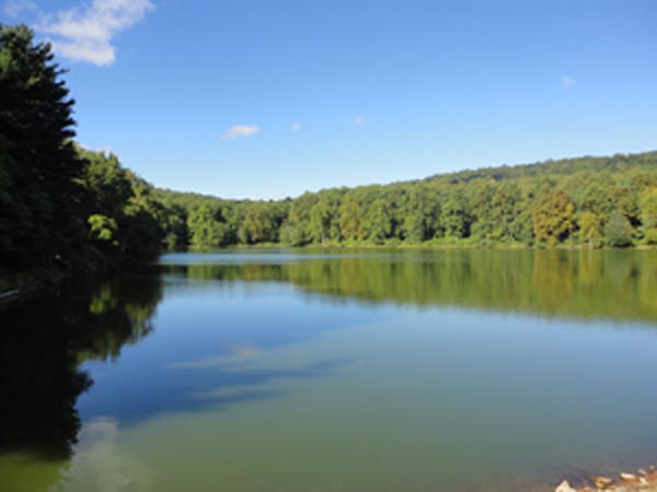
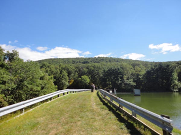
Trail Notes: Cross the dam of Crystal Lake and immediately come to a 4X trail intersection. Straight ahead is an obviously much older trail/road that is not officially part of the system but will eventually intersect the Central Loop. To hike the West loop turn left and hike 0.4 miles to the intersection with this 1.1 mile loop. It doesn�t matter which way you hike. Near the mid-way point of the loop you will pass an old stone wall, a recurring theme throughout the venue, suggesting that this was once farm land. After completing the loop returning to the 4X intersection.
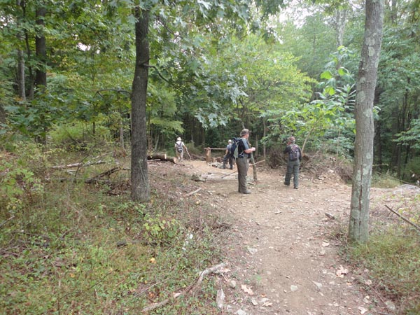
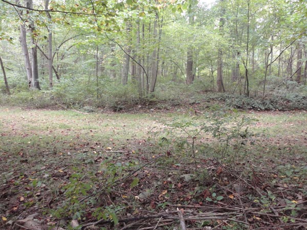
Continue through it and turn left onto the Central Loop. In a few steps you�ll pass a shortcut on the right. In 0.3 miles the trail will cross the previously mentioned old road twice as it bends around to descend, reaching the shortcut in another 0.3 miles. At this point there is a bike jump. Some bikers have made a makeshift guard rail as, immediately after the jump, the trail makes a 90 degree left turn. In 0.4 miles arrive back at what I�ll call the backbone trail. (It connects the three loops.) The return leg is to your right but you want to continue straight (or to the left) as the trail descends, crosses Turkey Creek and raps around a wooded knoll. The trail will parallel Hampton Valley Road for 0.2 miles before joining it to cross over a private driveway. The trail immediately reenters the woods. It will cross and then parallel a grassy water pipeline right-of-way, arriving at a gravel service road in 0.2 miles. You might be able to see the old Emmitsburg reservoir through the trees. Turn left onto the road and cross Turkey Creek on a culvert. Turn right onto the new trail, not the old abandoned road that is to its left. |
|
Climb 0.3 miles to the Eastern Loop. Again, it doesn�t matter which way you hike. There are four shortcut trails that will allow you to control your hiking distance. The entire loop is 2.4 miles in length. After completing this loop backtrack until you cross the private driveway and then Turkey Creek. Turn left onto the backbone trail and follow it back to the initial 4X intersection. Turn left to cross the dam. College Mountain will be in front of you.
________________________________________
________________________________________ |
|
|