|
Fridley Gap Circuit |
|
|
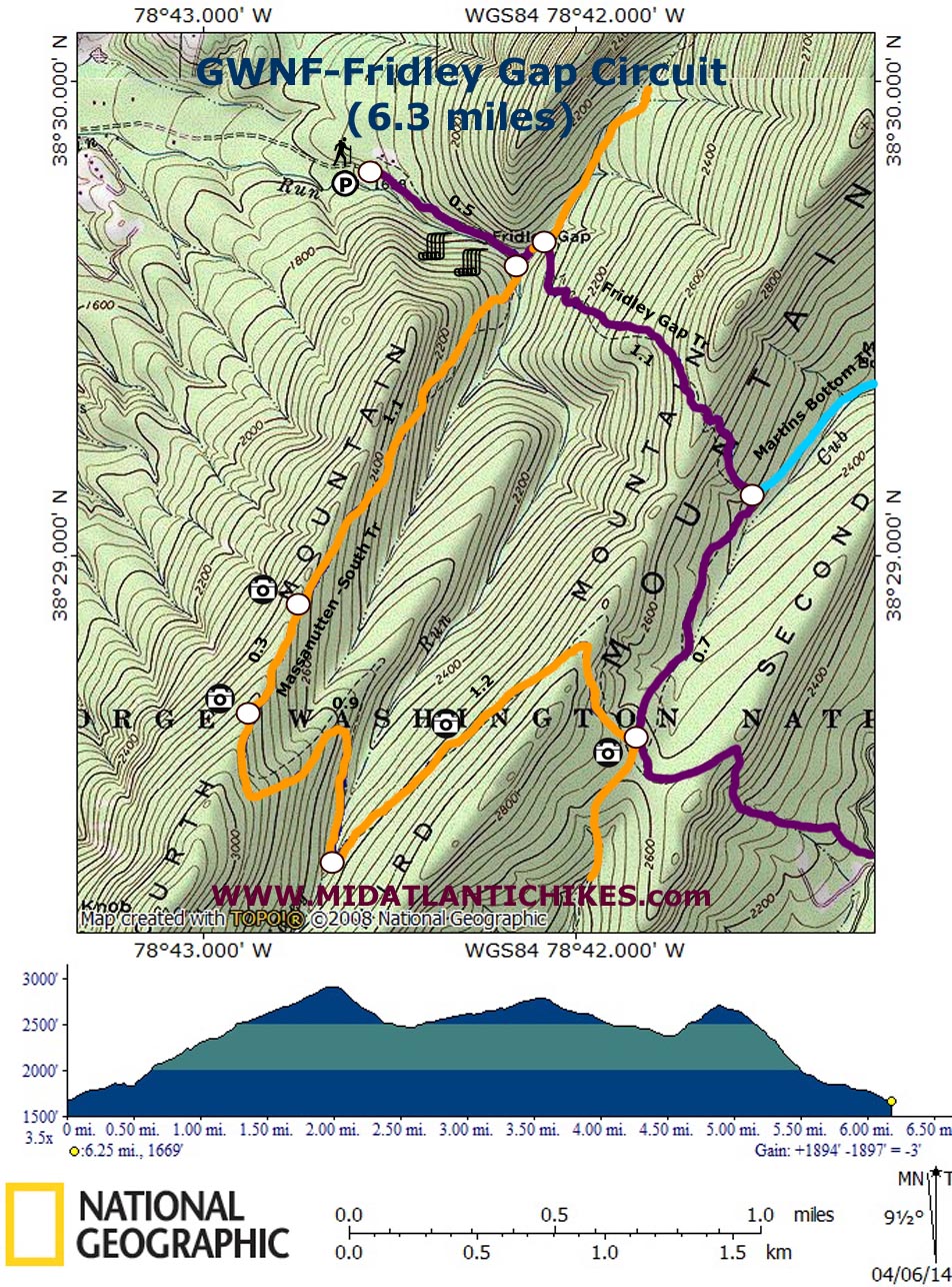
Description: Although considered a short hike at 6.3 miles this little gem packs a big punch in both the degree of difficulty and the amount of rewards. You will manage to gain and lose 1900 feet of elevation, some gradual and some knee numbingly steep, as you pass beautiful streams and awesome views. Be sure to wear sturdy boots and carry lots of water. If hiking in the summer take advantage of the swimming holes in Mountain Run. Google Maps Custom Driving Directions Note of Caution: Google Maps may tell you to turn left from Mountain Valley Road-Rt 620 onto Tree Bark Lane. This intersection does not exist. Turn left instead onto Armentrout Path which is a little further south and then left onto Airey Lane. Follow it to its end at a private drive. |
|
________________________________________ |
|
|
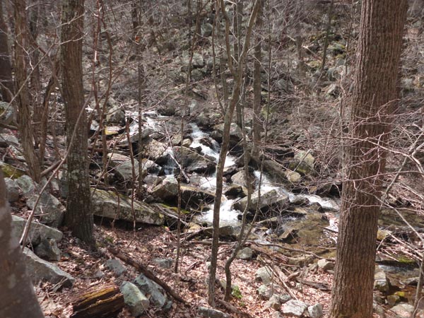
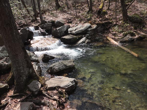
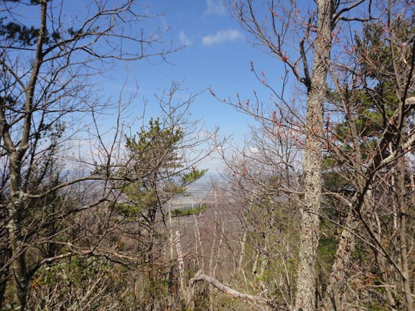
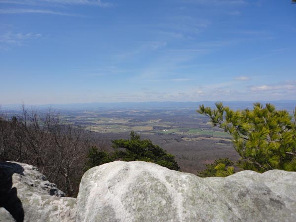
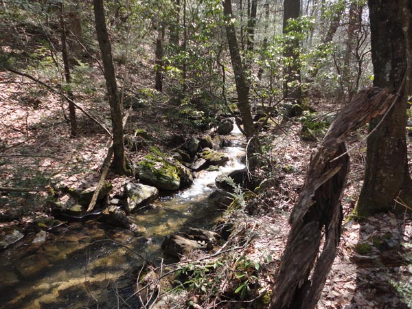
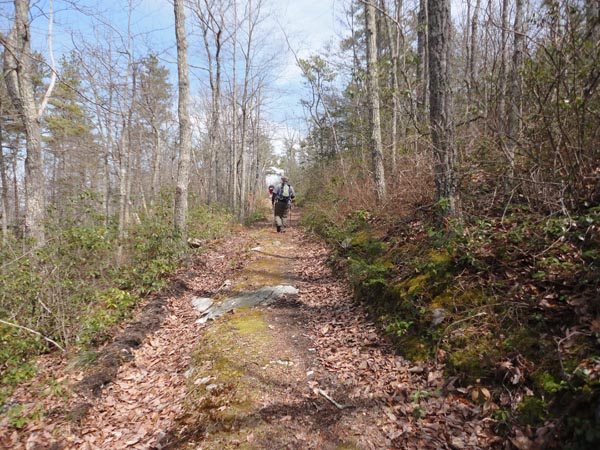
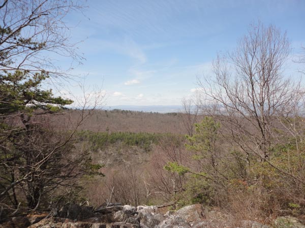
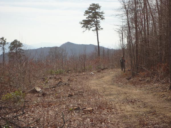
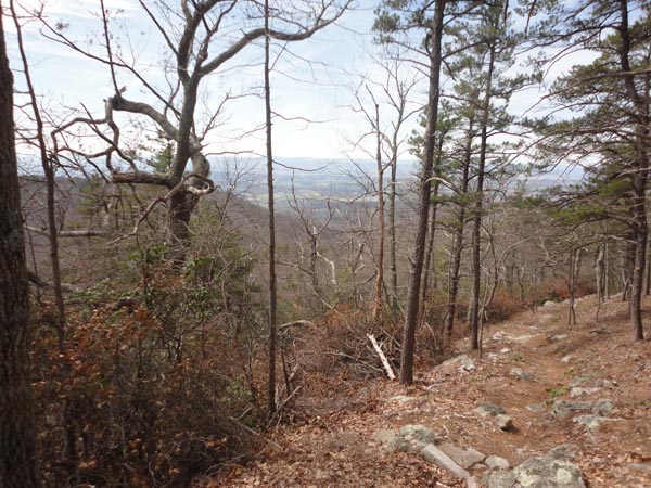
Trail Notes: From the large parking area at the base of a private drive take a couple of steps up it and turn right at a post onto the purple blazed Fridley Gap Trail. Climb steeply over and around large boulders for about 0.2 miles and merge onto an old woods road which comes in from the left. Bear right. At one point the road has been washed out by repetitive flooding but PATC trail crews have constructed a rock hoping bridge that will get you to the continuation of the road. You�ll pass a couple of nice swimming holes along the way. In 0.5 miles from the beginning cross Mountain Run and arrive at the intersection of the Massanutten-South Trail. Turn right onto it and almost immediately cross Fridley Run. Initially the climb will be steep but soon assumes a more obtuse angle as the trail side-hills up Fourth Mountain. In about 1.1 miles you�ll begin to see short side trails on the right that lead to rock outcrops that provide partial views. The ultimate view comes in another 0.3 miles at a nice but dry campsite under some pines. Look for a large slab of rock that juts out over the Shenandoah Valley. At this point you�ve gained 1,000 feet of elevation since the last stream crossing and about 1,300 feet since the beginning. After enjoying your break continue to climb a couple hundred more yards. The trail will turn sharply to the left (north) and descend for 0.9 miles, switching directions about halfway down, before following the upper reaches of Fridley Run for a bit. The trail crosses the stream and climbs gradually up Third Mountain on an old woods road with views of Fourth Mountain that you had just climbed reaching a saddle between it and Second Mountain in 1.2 miles. Here you will find a junction with the Fridley Gap Trail (a footpath straight ahead and a dirt road to the left). You want to turn left but before you do turn right onto the Massanutten-South Trail for just a few steps to catch a nice view of Kaylor and Hartman Knobs. After taking in the view reverse directions and walk down (north) on the dirt road portion of the Fridley Gap Trail. |
|
In 0.8 miles turn left at the double purple blazes (Going straight on the road puts you on the blue blazed Martin Bottom Trail.) and climb steeply to the crest of Third Mountain, Gaining 330 feet in 0.3 miles. Although you are finished climbing at this point your work is not yet done as you will now descend just as steeply through a series of short switchbacks reaching a junction with the Massanutten�South Trail. Here you will lose 850 feet of elevation over a mere 0.8 miles. This feat can best be described as knee numbing. Watch for a winter time view of the gap near the halfway point. Once at the bottom turn left onto the joint Massanutten-South/Fridley Gap Trail and descend for 0.1 miles on an eroded woods road to the initial trail junction. Turn right, cross Mountain Run and retrace your original 0.5 miles back to the parking area. ________________________________________
________________________________________ |
|
|