| Haldeman Tract-1 |
|
|
Description:
Weiser State forest is comprised of 30,000 acres. Of that, over
5,000 acres are in the Haldeman Tract. A labyrinth of over
thirty miles of multi-use trails traverses it. Only a few are
true footpaths suitable for hiking and mountain biking only. The
majority of the trails are wide, well maintained trails shared
with snow mobilers in the winter. For this reason I would not
venture out onto these trails when the white stuff is on the
ground. When the snow is gone the gates are locked to prevent
possible incursion by ATVers. Also, the forest is bounded on its
eastern end by State Game Lands 210 and a public watershed, each
with their own trail system. They all interconnect. The
following is a 7.3 mile introduction to the area. Google Maps Custom Driving Directions The Deep Hollow trailhead is just beyond the Rowland Picnic Area and on the same side of the road. Do not block the gate. |
|
________________________________________ |
Zipped National Geographic TOPO! GPS and Universal GPX Files |
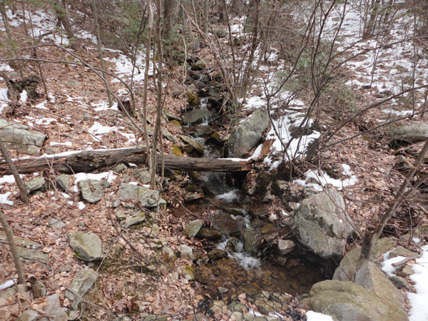
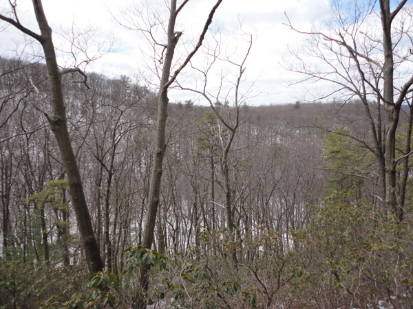
Trail Notes : Begin a long steady climb on the Deep Hollow Trail, a gravel road. Id 0.2 miles cross the Iron Mine Trail. In 0.4 miles, just before the road turns to the right, you'll pass a boulder on the left. It might not be apparent from this point but the Wolf Pond Trail, your return leg, comes down from there. After the right turn the road will turn left, all the time continuing to climb until it reaches Wolf Pond Road in another 1.4 miles. Turn left and follow it for 0.2 miles. The road will turn left and become the Ridge trail after a forest gate. Before you do that turn right and walk around another forest gate to take in the view from the Hang Glider Launch Area.
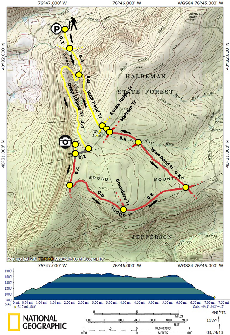
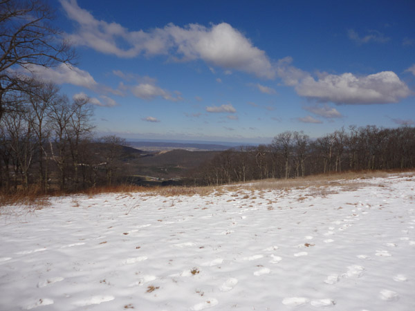
Continue to follow the Ridge Trail, a predominantly grassy affair marked with red diamonds. Immediately to the left will be a large clearing with what appears to be weather tracking equipment. In 0.4 miles a false trail goes off to the right at a bend in the road. Do not follow it. Pass the Boundary Trail on the left in 0.8 miles. Turn left onto the Wolf Pond Trail, one of the few real footpaths in the venue. It is blazed red and very rocky until you reach Wolf Run in another 0.8 miles. The rocks subside after crossing the stream. In 0.4 miles cross the Matters Trail, then Wolf Pond Road and finally Rocks Ridge Trail. At this point the trail blazes change to yellow. The descent is gradual at first but as you approach the Deep Hollow Trail it drops quickly - about 200 feet in 0.1 miles. Upon reaching the road turn right and retrace your initial steps of the day back to your vehicle.
|
|
________________________________________
________________________________________ |
|
|