| Haldeman Tract-2 |
|
|
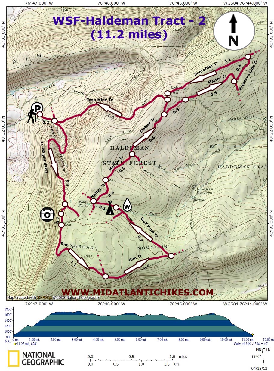
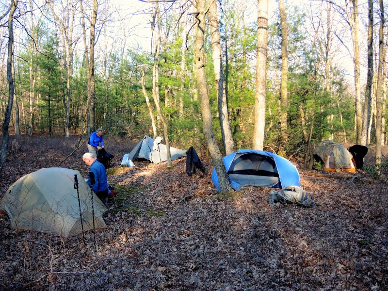
Description: Weiser State forest is comprised of 30,000 acres. Of that, over 5,000 acres are in the Haldeman Tract. A labyrinth of over thirty miles of multi-use trails traverses it. Only a few are true footpaths suitable for hiking and mountain biking only. The majority of the trails are wide, well maintained trails shared with snow mobilers in the winter. For this reason I would not venture out onto these trails when the white stuff is on the ground. When the snow is gone the gates are locked to prevent possible incursion by ATVers. Also, the forest is bounded on its eastern end by State Game Lands 210 and a public watershed, each with their own trail system. They all interconnect. The following is an extension of the Haldeman Tract-1 hike designed to be done as either a long day hike or quick over-night backpack. There is only one water source along this circuit which limits where you can camp unless you carry extra water.
Google Maps Custom Driving Directions
As you pass old white maintenance buildings on the left turn right into a large gravel parking area behind the picnic area. |
|
________________________________________ |
Zipped National Geographic TOPO! GPS and Universal GPX Files |
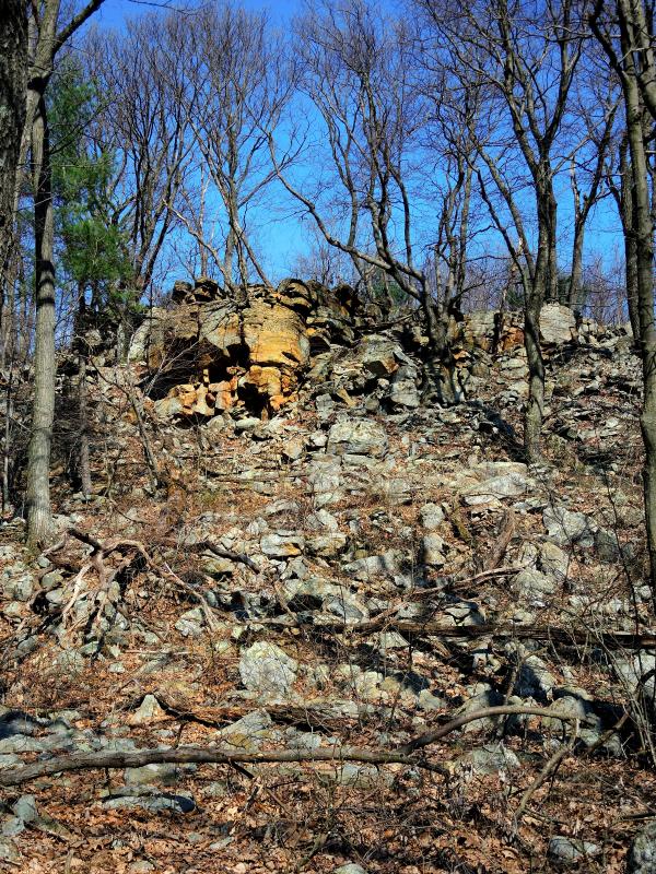
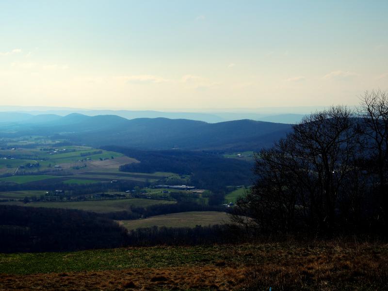
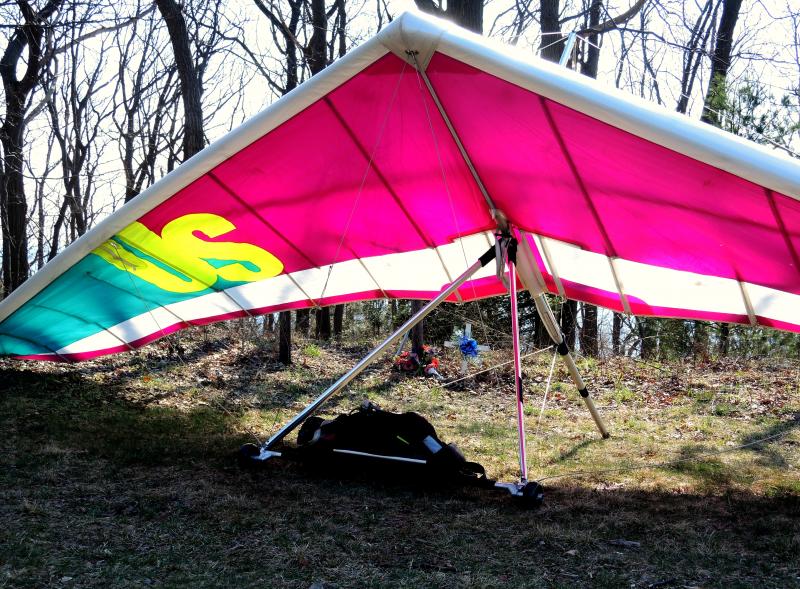
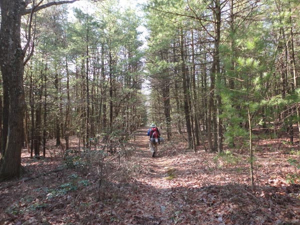
Trail Notes: Most major trail intersections are sighed. Footpaths are blazed with red paint while snowmobile trails are blazed with metal red diamonds, As you look at the kiosk turn right and then left, around the gate, onto the Iron Mine Trail. In 0.2 miles turn right onto the Deep Hollow Trail. The trail climbs steadily, wrapping around Deep Hollow as it climbs. In 1.6 miles turn right onto an un-marked but obvious connector trail that leads to the hang-glider launching site and a nice view of Armstrong Valley with Berry Mountain to the north. Turn left and follow the access road out to Wolf Pond Road. Continue straight (right) and walk around a forest gate. This is the Rim Trail. As of this writing, there is no sign. The trail/road is mostly grass and makes for very comfortable walking by PA standards. Immediately pass what appears to be a weather station on the left. In 1.1 miles pass the Boundary Trail on the left. (If needed this and an un-signed grassy road on its right can be used as a shortcut.) In 0.9 miles turn left onto the Wolf Pond Trail, a true footpath. Negotiate several rock fields, cross Wolf Run and, in 0.9 miles from turning onto this trail, look for a small mossy clearing on the left. If backpacking this is about the best ground in the area. There is no fire ring. To continue, follow the Wolf Pond Trail for another 0.3 miles and turn right onto the Matter Trail, another snowmobile trail at this point. The first 0.4 miles is mostly grass like the Rim Trail. At this point it skims the edge of Wolf Pond Road and becomes gravel. In 0.5 miles pass the Minnich Hit Trail on the right and climb slightly. The gravel snowmobile bears to the left in 0.6 miles, becoming the Schreffler Trail. Continue straight around a forest gate onto the continuation of the Matter Trail, now a footpath. Cross White Oak Trail in 0.3 miles. In 0.8 miles, as it passes through a nice pine grove, the trail makes a sharp right hand turn and ends at the gravel Preserve Line Trail. |
|
Make a sharp left hand turn onto it and begin a long gradual climb. In 0.4 miles the Preserve Line Trail turns right onto a dirt trail. Bear left here, now joining the Schreffler Trail. The ascent continues until you pass the site of an old fire tower which has recently bee destroyed. Arrive again at White Oak Road in 1.1 miles after leaving the Preserve Line trail. Turn to the left on White Oak Road for a few steps ad then right onto the continuation of the Schreffler Trail. Almost immediately turn right onto the Iron Mine Trail. This first section, up until you cross Wolf Pond Road, is gravel. After the crossing there is a long stretch of pleasant grassy walking. As the road begins its descent the tread gives way to alternating gravel and dirt. Watch out for a narrow view of Berry Mountain as the trail changes from a south-westerly course to one that is more north-westerly. In 1.6 miles from leaving the Schreffler Trail cross the Deep Hollow Trail and retrace your initial 0.2 miles back to your vehicle. ________________________________________
________________________________________ |
|
|