|
Fishers Gap-Pinnacle Picnic Area Shuttle |
Description: This is a strenuous 12.5 mile shuttle
hike in
Google Custom Directions to the Pinnacle Picnic Area Car Drop-off |
|
______________________________________ |
Zipped National Geographic. TOPO! GPS and Universal GPX Files |
Trail notes: The AT is blazed white. Side trails are blazed blue. Horse trails are yellow. All trail intersections are marked with concrete posts.
From the parking lot walk
out of the north entrance to Skyline drive. At the drive, turn hard
left onto a service road that leads downhill and under the overlook.
Just before a red gate turn right onto the AT. Soon pass below
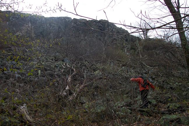
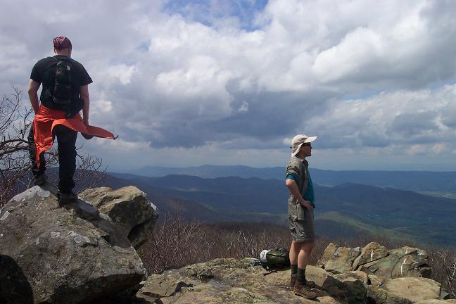
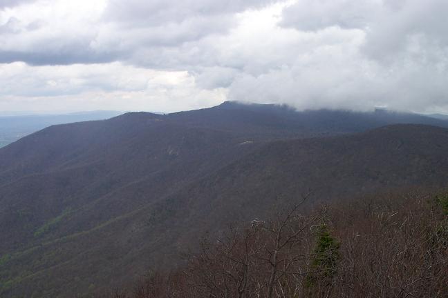
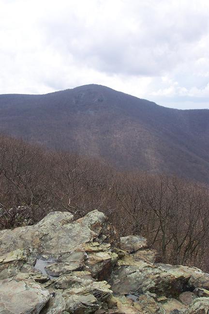
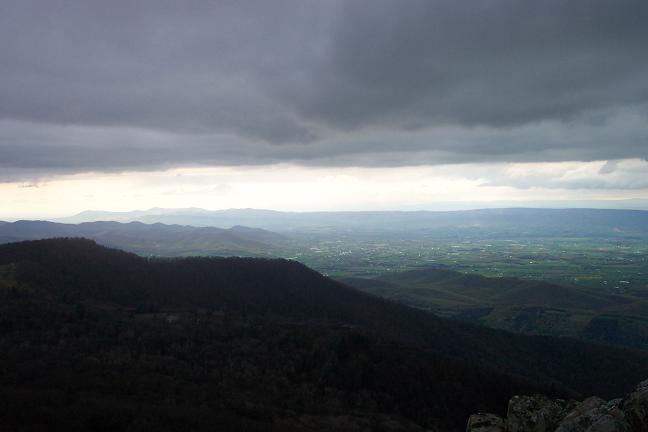
Franklin Cliffs with views west.
At 1.97 miles from the
beginning of the hike pass the service road for Rock Spring Cabin on
the right and shortly there after the spur trail to the cabin and
shelter on the left.
In another 0.28 miles turn
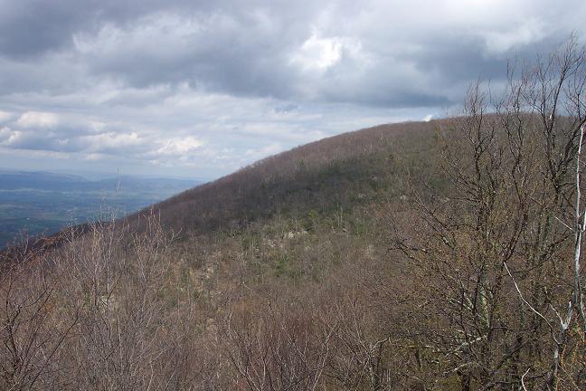
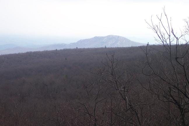
right onto blue blazed Hawksbill Summit Tr. Climb gradually for 0.9
miles, passing several overlooks and Byrds Nest #2 along the way.
The more direct route to the Byrds Nest may be closed due to
Peregrine Falcon breeding. If this is the case bear right onto an
alternate route also blazed blue and follow it to a gravel road.
Turn left onto the road, pass the continuation of the summit trail
on the right, and soon reach the Byrds Nest. From the Byrds Nest
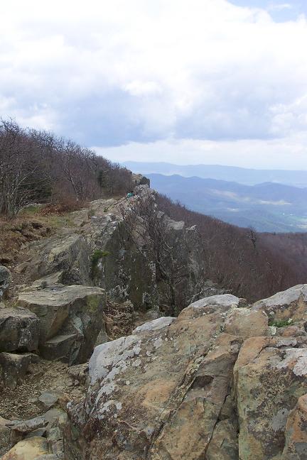
follow a spur trail out to a stone parapet marking the actual
summit.
Return to the Byrds Nest
and descend a very short distance down the gravel road. Turn left
onto the continuation of the Hawksbill Summit Trail and descend
steeply. In 0.8 miles rejoin the AT at the Hawksbill Gap Overlook.
Continue north on the AT.
(This portion can be
omitted if you wish to shorten the trip.) In 0.45 miles turn right
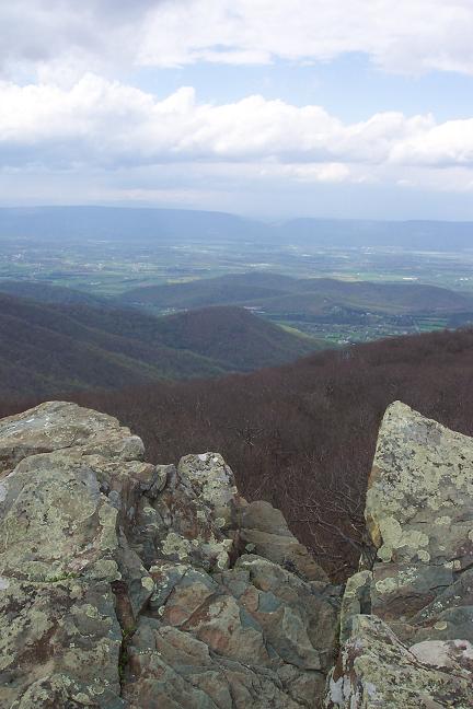
onto the Crescent Rock Overlook Spur Trail, following it to the
junction of Betty�s Rock Tr. Take Betty�s Rock Tr for 0.3 miles to
another grand vista. After you�ve taken in the view retrace your
steps to the AT and turn right.
In 2.07 miles cross a
paved road. You are now in Skyland. The AT will briefly follow a
gravel trail and then cross another road before re-entering the
woods on a footpath. In 0.56 miles from entering Skyland you�ll
cross a gravel road, passing a water storage tank along the way. In
0.15 more miles cross the northern entrance of Skyland and the
parking area for the Skyland Nature
Trail.
For the next 0.42 miles
the trail will carry duo blazes: white and blue. Where the AT turns
hard right continue straight on the continuation of the blue blazed
nature trail. Soon arrive at a fork. Bear left and climb to Big
Stony Man Summit. From there you can either retrace your steps to
the AT or complete the 0.4 mile loop.
When you arrive at the
intersection with the AT turn left and descend to Little Stony Man
for more views. At 0.61 miles from the nature trail arrive at a
trail intersection. Passamaquoddy Tr goes left and returns to
Skyland. Turn right, staying on the AT, and descend in 0.49 miles to
the Stony Man parking lot.
For the next 0.74 miles the AT
parallels |
|
________________________________________
________________________________________ |
|
|