|
Canaan Mountain Grand Circuit |
|
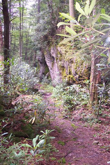
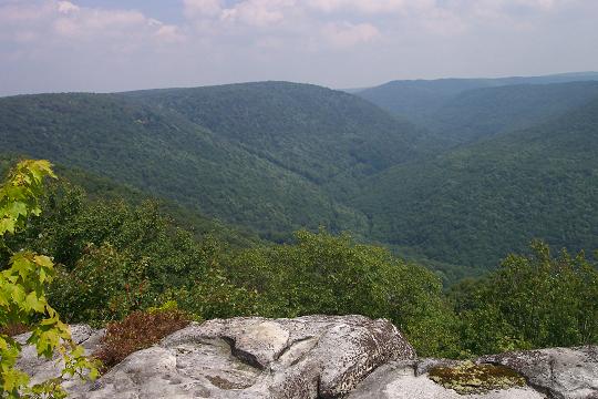
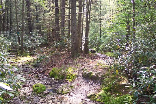
Description: This is a 15.4 mile moderate circuit hike. I tend to categorize anything over 10 miles as being strenuous but the modest elevation gains and significant amount of road walking causes me to list this as moderate. I had actually planned on doing a 12+ mile loop described elsewhere on this site but a missed intersection compelled me to attempt this longer route. It can easily be accomplished in 8-9 hours, including lunch and breaks, with a day pack. The hike features mature woods with gigantic Hemlocks and Red Spruce, streams and a fantastic view from Table Rock.
Park at the Lindy Point Overlook lot on the
right just before
|
|
________________________________________ |
|
Trail Notes:
From
the Lindy Point Overlook parking area walk south on gravel
At 0.5 miles from
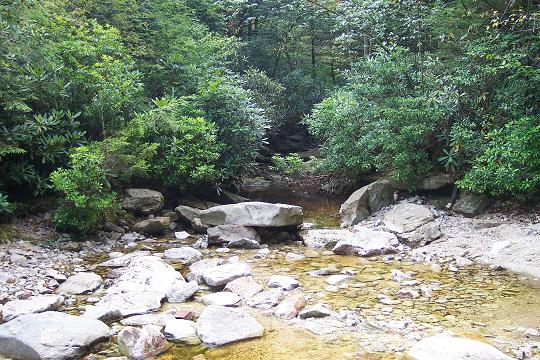
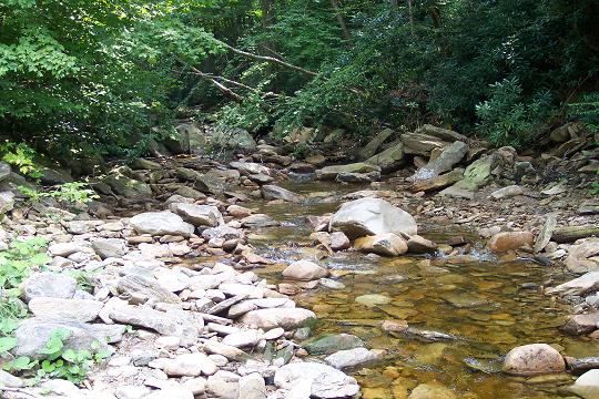
joining Lindy Run Trail cross Lindy Run. This is usually a rock hop.
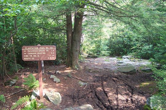
In 0.7 miles from the stream crossing reach the intersection with
Plantation Trail (TR101).
Turn right onto
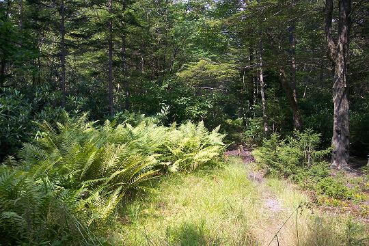
Plantation Trail. Cross Lindy Run again and climb a short hill. On
the right is a meadow filled with Hay Scented Fern suitable for
several tents. There is a fire ring in the middle. There are several
spots along this segment of Plantation Trail under the bows of giant
Hemlocks that would make great campsites but they are dry. If you
intend to use them �water up� at the last Lindy Run
crossing.
At about 1.3 miles
from leaving Lindy Run reach the difficult-to-recognize juncture
with unsigned Railroad Grade Trail. Stop here and study the trails.
For about 30 yards both trails share the same tread. The Railroad
Grade Trail bears slightly to the left through a trough and has a
blue diamond blaze in eye sight while the
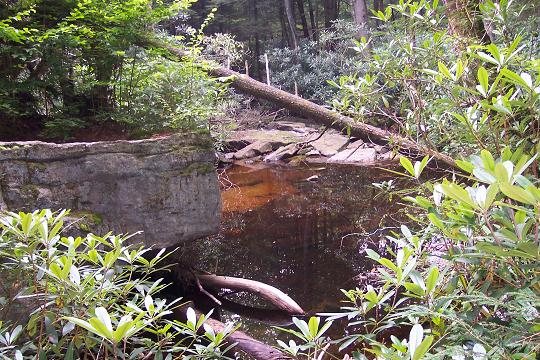
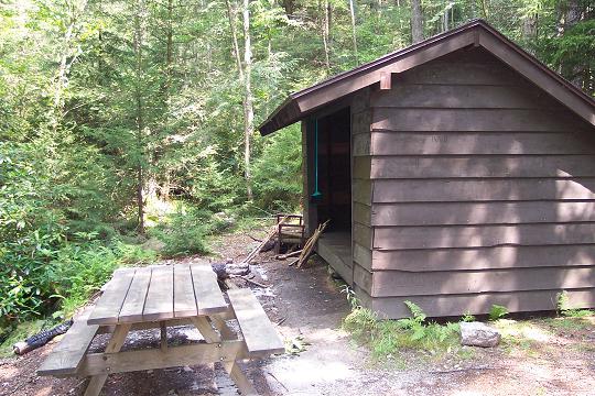
The Railroad Grade Trail first goes directly up the trough and then follows the right berm for a bit before crossing over to the left berm. Eventually the grade rises to follow the valley wall along a trail softened by Hemlock and Spruce needles. In 0.6 miles from the last trail intersection cross a stream and arrive at a large shelter. There are campsites on the hill behind it and even better ones to the right of the trail not far from the shelter.
From there it is a
pleasant 1.2 mile jaunt out to |
|
Turn left onto Table Rock Trail. The trail is obvious in most places except through some rock screes. Luckily, the trail becomes obvious at the end of the screes. Near the top of the slope the pace becomes slower as you negotiate a series of seeps.
As you reach the end,
the trail splits. A lesser view is to the left. Bear right, passing
through a nice but dry campsite, to see the real views. Retrace your
steps to
Turn left on
This time bear left
and follow the Railroad Grade Trail back down to
Turn right onto
Printable/Downloadable Directions and Trail Notes Read about a recent trip to Canaan Mt. _______________________________________
_______________________________________
Name: Nick R.
Hike: Canaan Mountain Grand Circuit _______________________________________ |
|
|