
|
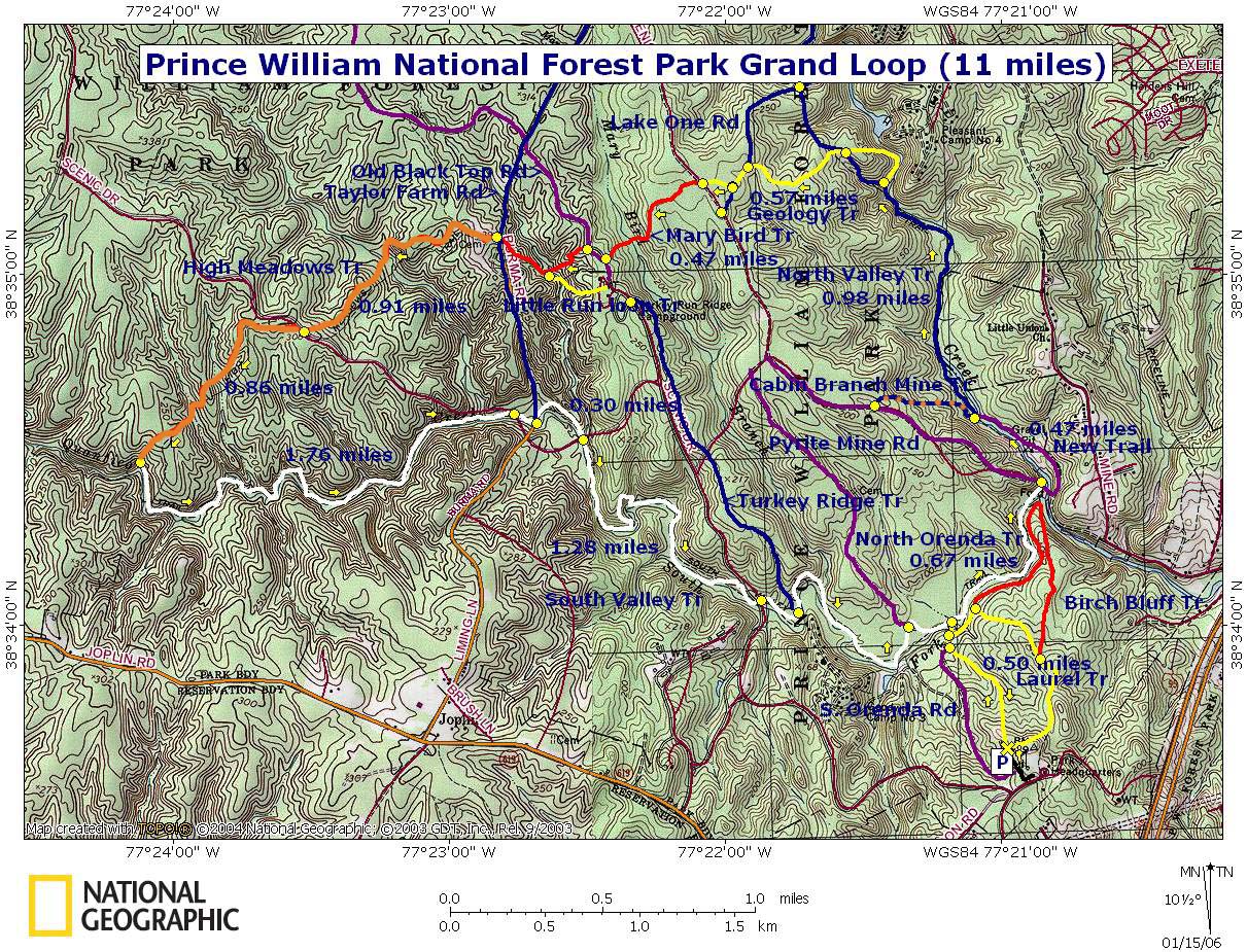
Prince William Forest Park Loop
|
|
Description: This is a moderate
11 mile circuit in the little advertised and under-utilized trail
system of
Although I prefer to hike in Prince William in the winter it should be given serious consideration for spring and fall outings, especially for beginners. In the spring the under-story along the creeks are abloom with Red Bud, Dogwood and Wild Azaleas. In the fall there is always the orange and yellows of Maple, Beech and other deciduous trees.
Turn left into Pine
Grove picnic Area. Continue down the parking area directly in
front of you and park at the end of the lot. |
| ________________________________________ |
Zipped National Geographic. TOPO! GPS and Universal GPX Files |
Trail Notes: All Trails and Woods Roads are signed. All Trails are blazed with painted bars on trees. Some woods roads are not blazed except where they might temporarily share the tread with a trail and are shown in purple on the map. Other woods roads are blazed blue.
At
the end of the parking lot walk north picking up the yellow blazed
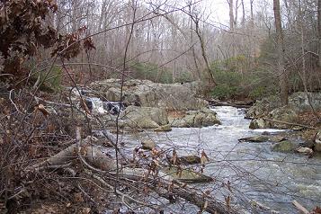
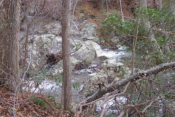
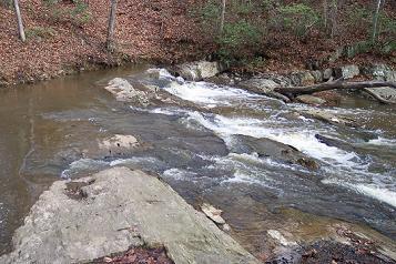
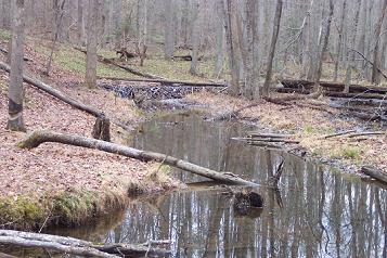
Turn right onto white blazed South Valley Trail. In 0.67 miles arrive at un-blazed Pyrite Mine Road. To get a view of the remains of the old Pyrite Mine and the swamp around it created by the dumping of mine tailings turn right, cross a bridge and immediately turn left. Soon arrive at a boardwalk that leads to the viewing area.
There is a new boardwalk/trail to the right of the of the viewing platform as you look at the mine. Follow it and soon cross a new bridge over the North Branch of Quantico Creek. Dual blazed (orange and blue) Cabin Branch Mine Trail is straight ahead. Follow it a few hundred yards to visit the old foundations of the main Mine Buildings.
Return to the creek and turn left onto blue blazed North Valley Trail. In a mile arrive at the junction of yellow blazed Geology Trail on the right. Turn left, staying on the North Valley Trail a little longer.
|
|
Reach
another junction with
the yellow blazed
Geology trail. Turn left onto the Geology Tr. In 0.57 miles arrive
at the junction of Lake One Road. Turn left, following the yellow
blazes, and in a few yards turn
right back onto a
yellow blazed path. Soon arrive at the
Turn right onto
Continue on High Meadows Trail, passing the Taylor cemetery on the left, and in 0.9 miles cross the Scenic Drive again. In another 0.85 miles pass through a Pine plantation and descend to white blazed South Valley Trail. Turn left onto South Valley Tr.
You will either cross or go under the
I n about 0.2 miles after thePrintable/Downloadable Directions and Trail Notes ________________________________________
________________________________________
Name: Cory
Hike: Prince William Forest Park Loop ________________________________________ |
|
|