|
Pinnacle Picnic Area to Mary's Rock Out and Back |
|
Description: This is a 7.2 mile out and back
hike to Mary�s Rock. You�ll climb over the park�s third highest
summit, The Pinnacle, en route. You�ll witness several great views
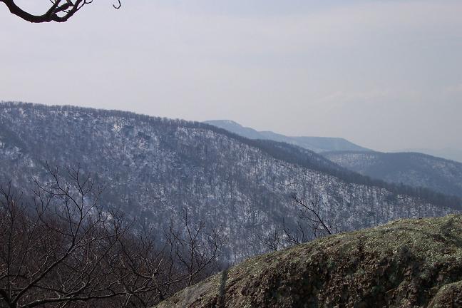
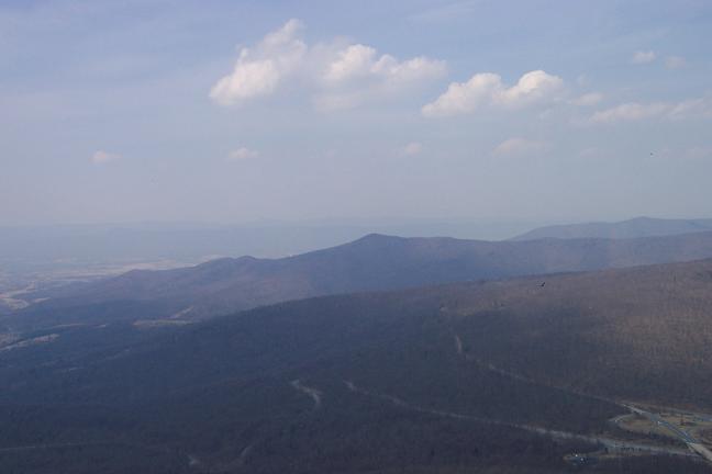
along the way and at the final destination, Mary�s Rock. From here
you�ll have a 270 degree view of the surrounding area. You�ll be
able to take in the town of
Google Custom Directions to the Pinnacle Picnic Area The hike starts in the back of the Pinnacle Picnic Area. |
|
______________________________________ |
Zipped National Geographic. TOPO! GPS and Universal GPX Files |
Trail Notes: From the main bathrooms locate the white blazes on the trees to their right. Follow the AT as it parallels the driveway. At one point the trail comes out onto the lawn at a sign with distances indicated for the Pinnacle, etc. From there the trail bears left into the woods for a bit. Shortly come to a spur trail to the right that leads to Jewell Gap Overlook. Turn right staying on the AT.
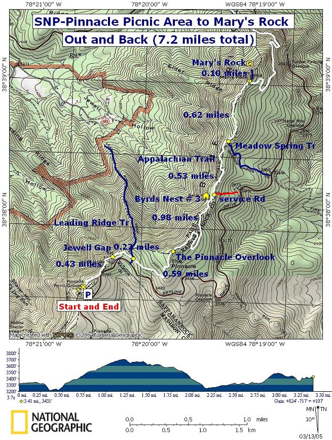
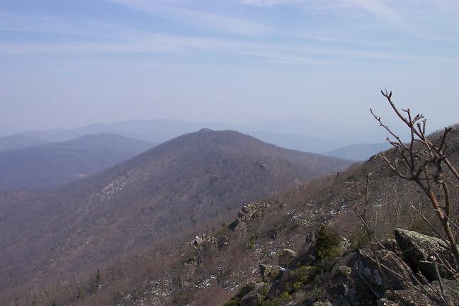
The AT will switchback and continue north under the overlook (0.43 miles from the start). Begin to climb passing the junction of blue blazed Leading Ridge Tr in another 0.22 miles. The trail will be straight and gradual for a while. As you near the top it will become steeper and weave in and out of rock formations. At 0.59 miles from the last trail junction arrive at a fantastic overlook with views to the south, west and north.
Descend down to a sag in the ridge via a series of
switchbacks. The first couple are short and steep. The last two are
quite long and gradual. 0.98 miles from the overlook finds you at
Byrds Nest #3, a day use only shelter. This is a good break spot.
Partial views east of the
Continue north soon coming to a concrete post marking a
spring (and a service road that leads to
Start to climb here and in another 0.62 miles arrive at
the junction of the blue blazed spur trail to the left that leads to
Mary�s Rock. You�ll actually walk behind Mary�s Rock just before the
concrete post. Turn left and in 0.1 miles arrive at the summit of
Mary�s Rock. After enjoying the view retrace your steps back to the
car. Keep and eye out for some nice southerly views, including
|
|
________________________________________
________________________________________
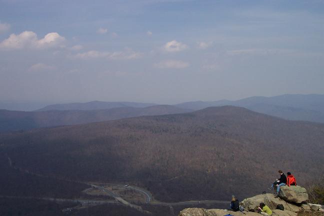
Name: John S. Outing Critique: This was a nice hike -- not too difficult, but strenuous enough to give two experienced, middle-aged hikers a pleasant workout. Several great views along the way, and the one from Mary's Rock was spectacular. The photo shows the Thornton Gap entrance to Shenandoah NP as seen from up there. Labor Day weekend is probably not the best time to do this hike if you're looking for solitude. ________________________________________
Name: Galen
Hike: Pinnacle Picnic Area to Mary's Rock Out and Back ________________________________________
Name: Michael Eckert Hike:
Pinnacle Picnic Area to Mary's Rock Out and Back
|
|
|