|
Big Blue-Vance's Cove |
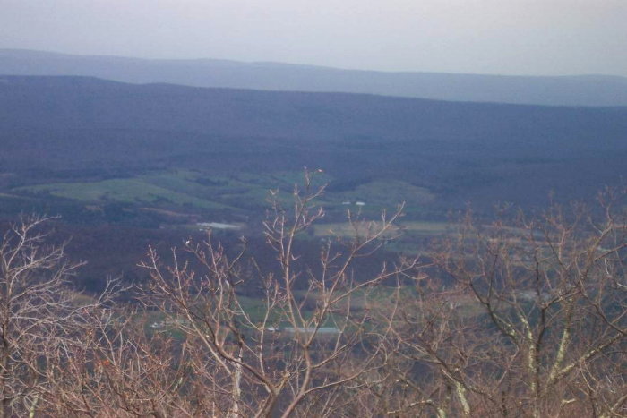 |
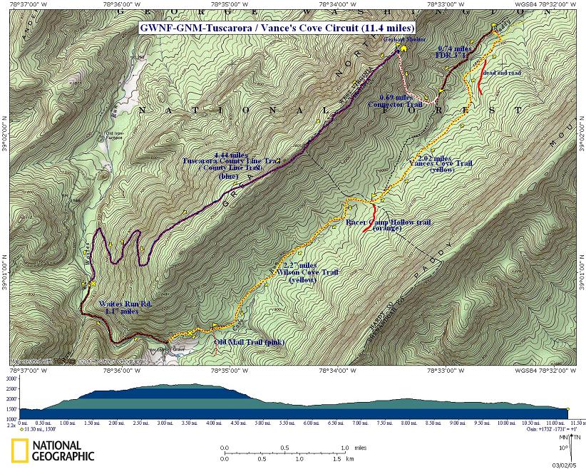
Description: Strenuous
11.6 mile circuit hike with 1400 foot elevation gain. Walk
with one foot in VA and the other in WV. Features streams and
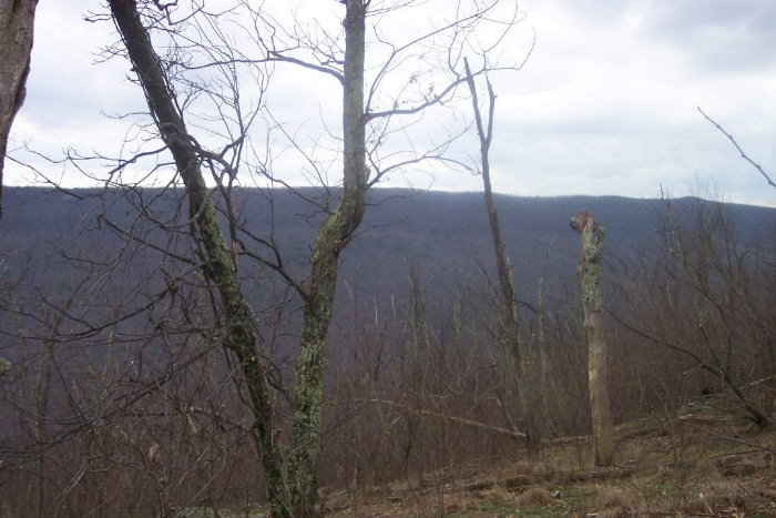
views. There is a shelter at the end of the ridge walk should
you want to make this an over-nighter. Note, however that
the closest water source is at the bottom of a long, very
steep descent and that source is not reliable. Bring extra
water to last the night.
Look for blue blazes on the left side of Waites Run Road after crossing a one-lane bridge. Park at closest pull-over to the bridge. The Tuscarora Trail is part of the Great Eastern Trail (GET). |
|
________________________________________ |
|
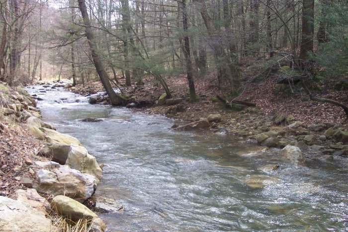
Trail Notes: From Waite's Run proceed down stream on the Blue-blazed Tuscarora Trail. At this point it is an old forest road. The road will climb slightly as the stream curves away.
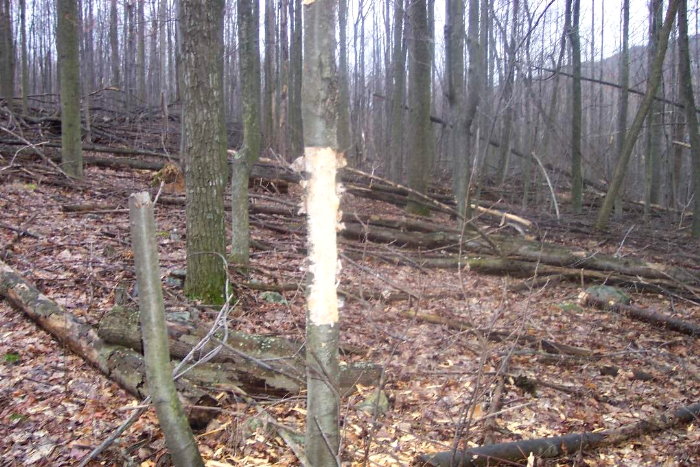
Turn right onto a rocky footpath, climbing steeply along the side of the ridge along a series of switchbacks. The grade becomes straighter and lesser as it now slowly clims to the top of the ridge. Continue on until you reach the Gerhard shelter at about 4.5 miles.
Turn right and descend quickly down an un-named white connector trail to FDR 371. Turn left and follow the forest road until you come to a gate and then yellow blazes to your right.
Follow the yellow blazes. Cross Patty Run and turn right (upstream). You are now on Vance's Cove Trail. Follow this to the intersection of orange-blazed Racer Camp Hollow Trail on your left and yellow-blazed Wilson Cove Trail on your right. They actually are the same forest road. Turn right onto Wilson Cove Trail and follow it back to your car.
|
|
________________________________________
________________________________________ Name: Paul
Fofonoff
Hike: Big Blue-Vance's Cove Date: 6/14/14
Ranking: 4 Critique: I
scouted this trail, day-hiking on 5/31/14, and then led a
group backpacking on June 14-15, for the DC Chapter of the
Appalachian Mtn Club. On my scouting trip, there was a
spectacular display of Fringe-Tree in the open meadows on
the ridge- I'd give that one a 5. By mid-June, the blossoms
were gone, but there was still lots of Mountain Laurel. The
group included beginners and rusty backpackers, and this
hike was a good fit, with moderate grades, good views, and a
chance to see a mountain sunset. The consensus for the group
was 4 out of 5, The one major change in the trail is that
the Gerhardt Shelter trail has been recently altered to add
switchbacks. The upper sections are a rough bulldozer trail,
and it's now about a mile from the shelter to the spring. so
if you're backpacking, top off your water at Terrapin
Spring. One more warning- the shelter was swarming with
ticks, so we all used our tents, and had to check
frequently. Over all, this is a great hike, I've posted a
report and photos at
http://www.amc-dc.org/tripReports/2014/GreatNorth0614.pdf
Happy Trails, Paul
_______________________________________
Name:Aj Hike:
Big Blue-Vance's
Cove _______________________________________
Name:Michelle
Hike: Big Blue-Cove Run
Loop Date:1/28/2006 Ranking: 4 Critique: The hike was good. We over shot the one-lane bridge (there are several) coming in (not quite 6.5 miles)! Look for the blue trail marks on the left after the bridge, and that should help. We hiked the trail in January, and all the leaves were on the path, which made things slippery with the ascent, and the rocks didn't help. The views were great, especially with the absence of leaves. The backend of the trail was quite serene in the valley, with plenty of streambeds to course your way through to keep it lively. Have fun! ________________________________________ |
|
|