|
Middle Creek WMA |
|
|
Special thanks to Ken Clark for showing me
some of the trails in this venue. Description: The Middle Creek Wildlife Management Area (WMA) is a 5000 acre tract maintained by the PA Game Commission. The 400 acre lake and 70 acre pond (plus smaller ponds and wetlands) are the home to many songbirds and water fowl. The main attraction, however, is the hundreds of thousands of Tundra Swan and Snow Geese that stop over here during their migration (February to mid-March). We were there during the tail end of the Snow Geese migration and were still able to witness thousands of them as they gathered around and on an island on the Lake. It is certainly an amazing sight. For more information visit their site. The WMA also supports a network of trails ranging in difficulty from easy to moderately difficult. Circuits of less than a mile to over 8 miles can be formed. The Horseshoe Trail, a 140 mile hiking and equestrian trail, follows the southern ridges below the lake. |
|
Described here is a moderate 8.0 mile figure-8 circuit with 2 or 3 vistas, pretty streams, some old ruins and a walk along the lake that can easily be shortened to 2 smaller loops by merely changing where you park your vehicle. The entire circuit entails 1500 feet of elevation gain.
Google Custom Driving Directions This hike starts near the right parking area of the Visitor Center as you face away from it. ________________________________________ |
Zipped National Geographic. TOPO! GPS and Universal GPX Files |
Train Notes: Some of the trails are blazed while others are not. Most junctions are signed. All are pretty obvious. Lower elevation trails have several perpetually wet spots. The worst are traversed by boardwalks.
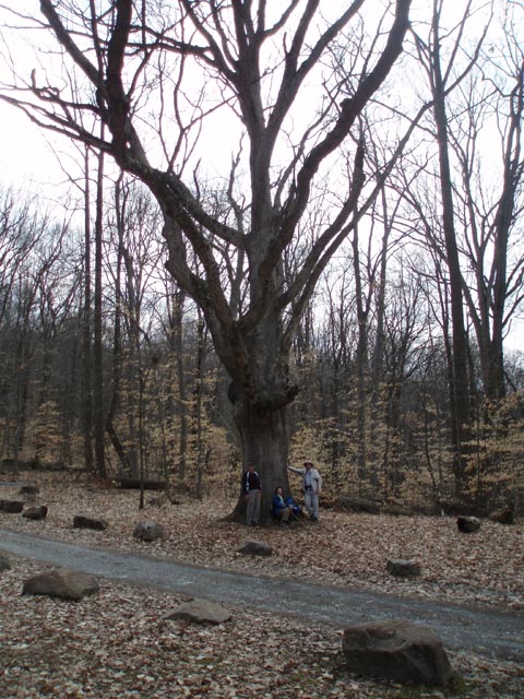
From the parking lot pick up the trailhead sign for the Conservation Trail and proceed uphill through an open field to a clump of trees at 0.20 miles. The trail will be sporadically blazed with yellow metal triangles. At the clump of trees the trail goes in either direction but soon rejoin. Turn left here but soon turn right onto a footpath that goes through the woods that soon joins the other trail segment. Turn left here following the edge of an open area. The trail will alternate between going through woods to following wildlife clearing edges. In 0.70 miles from the last described turn the trail will make a left turn at a blaze to return back to the Visitor Center. Do not turn here but rather follow the left edge of a clearing out to a gravel road. turn right here and walk 0.22 miles to a parking area on the right and a gated access road to signed Game Lands # 46 on the left. Turn left here and begin a steady but short climb on this gravel road. In 0.20 miles cross through a power line swath and in another 0.15 miles reach the crest of the ridge and the yellow blazed Horseshoe Trail. Cross it and begin to descend following the Elders Run drainage on your right. In another 0.15 miles check out the stone ruins and spring house for an old house.
Continue to descend for 0.85 miles, crossing Elders Run on a bridge. Make a very sharp left turn onto signed Middle Creek Trail. This is an old railroad grade that parallels the creek for 1.21 miles all the way to its end at Kleinfeltersville Road and the Horseshoe Trail (You'll travel this trail segment later unless you want to do a 5.6 mile loop. In that case pickup these directions at the appropriate place). The tread is pretty rocky from the ballast that supported the train tracks years ago. The views of the creek are worth the discomfort of the rocks.Turn right onto Kleinfeltersville Road and cross Middle Creek on a bridge. |
|
Immediately turn left onto Millstone Road and then right onto the continuation of the Horseshoe Trail. Ascend almost to the crest of the hill. In 0.74 miles from turning off of Millstone Road the Horseshoe trail will continue east on a relatively flat plane. There is no sign here but the obvious old route of the Horseshoe Trail goes left here. This serves as a connector to the Millstone Trail. Turn left here and use it to reach that signed and white blazed trail. Turning either left or right will take you back to the lake but a right turn takes you to a nice view of the lake , sprawling valley and surrounding mountains. Turn right here. After visiting the vista continue on the Milestone Trail. There is a large fallen tree blocking the trail as of this posting (03/2008) making it easy to lose the trail. There is an un-blazed trail that descends from the ridge prematurely. This is not the correct route. Look for the white blazes on the other side of the blow-down and in a few yards arrive at the trail's namesake, a millstone that had been quarried on site but abandoned due to a crack that formed during its attempted removal. From here the trail descends steeply over lose rock. Take care here! In 0.59 miles arrive at Millstone Road. Cross it and enter a lakeside parking lot. Almost directly across the grass find the trailhead for the Deer Path Trail. Follow it for 0.56 miles to the launch ramp parking area passing a nice viewpoint of the lake at about the midway point.
Turn right onto Millstone Road and follow it back out the Kleinfeltersville road. Retrace your earlier steps back to the Middle Creek and Horseshoe trail junction. Take the Horseshoe Trail and climb for 0.52 miles to the junction of the Valley View Connector on the right. Turn right and follow it to the white blazed Valley View Trail straight ahead and to the right. A connector leading back to the Horseshoe Trail is on the left. Turn right onto the Valley View Trail and soon arrive at a large boulder marking the vista. From here the trail descends easily for 0.43 miles using several short switchbacks.
At the bottom arrive at a parking lot. Follow the left edge of the lot out to a gravel road and cross it, picking up the continuation of the Valley View Trail. There is no sign at this point but it is blazed and obvious. Soon arrive at a short loop trail to the left and straight ahead. This is white blazed Spice Bush Trail. Stay straight and in 0.27 miles pass the return arm of the Spicebush Trail. Soon arrive at paved Museum Road and a small pond. From here you can see the Visitor Center. Follow the roads back to the parking lot.
Printable/Downloadable Trail Notes ________________________________________
________________________________________
Name: Merv Hike: Middle Creek WMA Date: 12/27/14 Rating: 4
Critique:
Like
many PA trails, major portions of this trail go through active
hunting areas. It is highly recommended that all hikers wear
orange just like hunters in order to be highly visible.
Unfortunately, our group did not anticipate this, and when we
could clearly hear shots being fired, decided not forgo taking
the full circuit.
________________________________________
Name: Bob
Hike: Middle Creek WMA ________________________________________ |
|
|