|
Douthat State Park-Middle Mountain Loop |
|
|
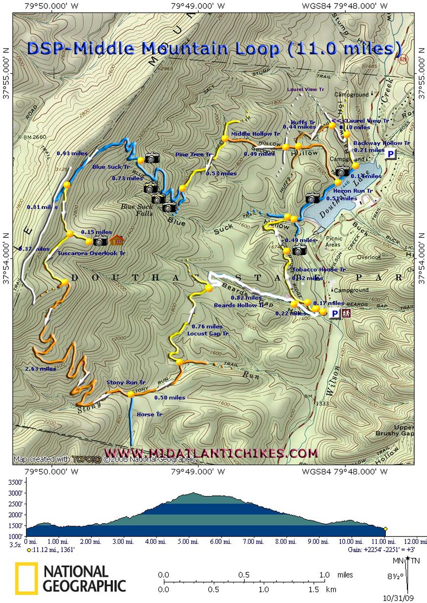
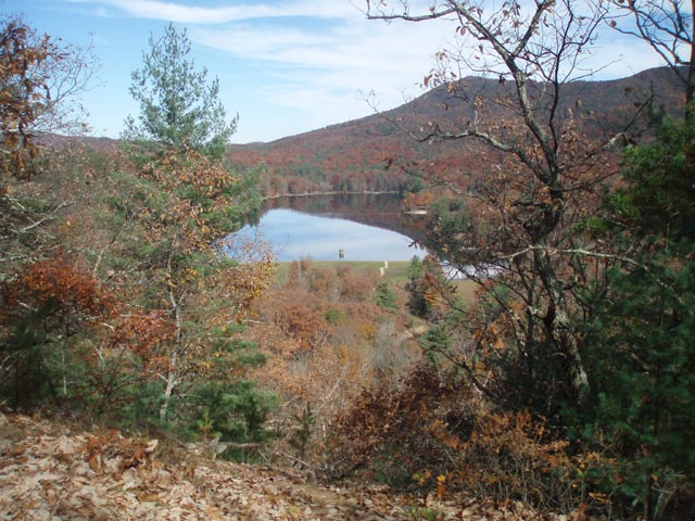
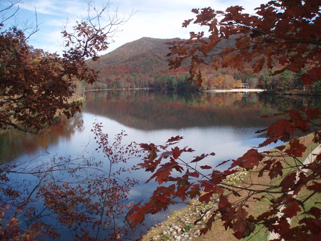
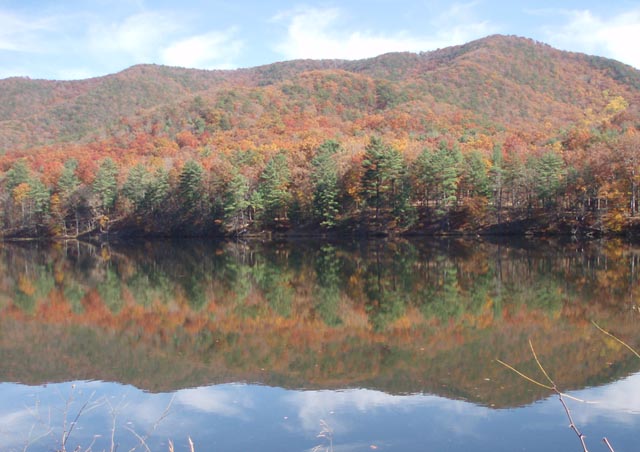
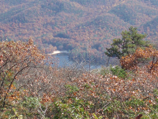
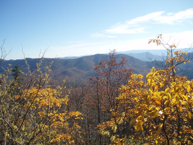
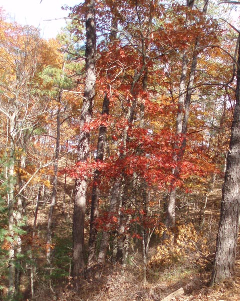
Description: Douthat (pronounced DOW-thut) State Park is the oldest State Park in the Old Dominion, constructed by the CCC in 1936. We�ve driven by the exit for it on I-64 many times on our way to and from the Cranberry Wilderness, Lake Sherwood and New River National River Park in WV. We drove through the campgrounds once just to check them out about eight years ago than thought nothing about it. Then a friend sent me a set of Leonard Adkins� �50 Hikes in �. VA� books. One contained the descriptions of two hikes within the park. The same friend explored these hikes last year and rated them highly. This year I decided it was time for us to visit them. Described here is a near circumnavigation of the western sloop of the valley on Middle Mountain. Given its length and elevation Gain (11.0 miles and 2250 feet) it is a relatively easy circuit. We give it an overall �moderate� rating. You�ll visit three official vistas as well as several �unofficial� ones. The walk along the western bank of the lake is beautiful anytime of the year but the fall colors only add to it. You can change the route and length of the trek to fit your preferences. We recommend you take the park map with you since we do not show all of the trails here. |
|
Google Maps Custom Driving Directions The hike starts at the day use parking lot on the White Oak Campground road just before crossing Wilson Creek. It is across the road from the Visitor Center. For more Douthat hiking see the Beards Mountain Figure Eight hike. ________________________________________ |
|
Zipped National Geographic. TOPO! GPS and Universal GPX Files |
Trail Notes: Almost every trail junction is signed and all trails are blazed.
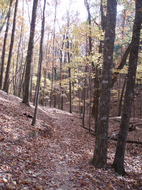
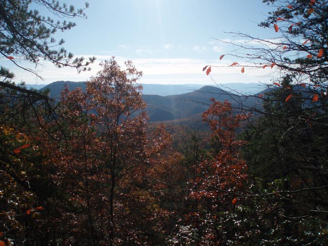
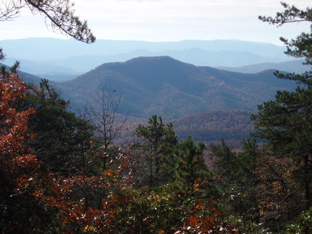
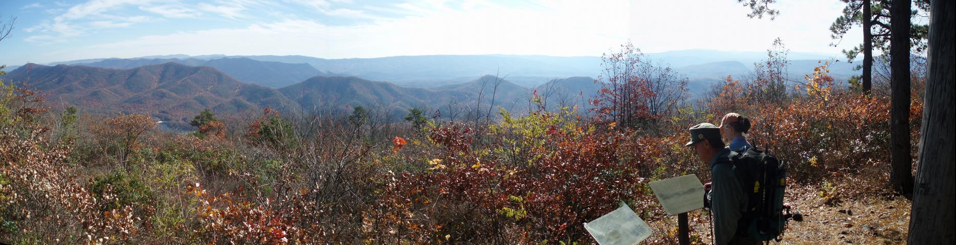
From the parking lot walk up the campground road crossing Wilson Creek and passing the Beard Hollow Trail on the left. (This is part of your return route.) As the campground road splits bear to the left and in about 0.17 miles from the parking lot turn left onto the yellow blazed Tobacco House Trail and begin a gradual climb. In 0.42 miles from the campground arrive at a nice view of the lake. From there switchback down for 0.49 miles and turn right for just a few steps onto the Blue Suck Trail and then left onto the Heron Run Trail as it follows the western bank of the lake. In 0.51 miles pass the beginning of the Middle Hollow Trail on the left. In another 0.14 miles, just before reaching the Lake Side Campground, turn left onto the yellow blazed Backway Hollow Trail. In another 0.21 miles make a sharp left onto the white blazed Laurel View trail. At 0.10 miles from the last junction turn left onto the gold blazed Huffs trail. In 0.44 more miles turn right onto the orange blazed Middle Hollow Trail and climb gently for 0.49 miles to the junction with the yellow blazed Pine Tree trail. Turn left onto it and enjoy some relatively flat walking for 0.53 miles. At this point the trail ends with the blue blazed Blue Suck trail coming in from straight ahead and turning sharply on your right. Bear right and begin a climb up a series of switchbacks. It seems that every other apex presents the hiker with some kind of a view. In 0.73 miles from leaving the Pine tree Trail arrive at a spur trail that leads to another vista. Return to the Blue Suck Trail and continue to switchback almost to the ridge. In 0.93 miles from the last vista bear left onto the yellow blazed Tuscarora Overlook Trail. In 0.31 miles turn left onto a spur trail that leads to an old cabin and a panoramic view of the valley below and the mountain ridges to the east. This is a great lunch spot.
Continuing on, retrace your steps back to the Tuscarora Overlook Trail and turn left onto it. In 0.37 miles turn left onto orange blazed Stony Run Trail. After switchbacking down the ridge for 2.67 miles, crossing the run along the way, pass a blue blazed horse trail on the right. In another 0.50 miles cross the run again and bear left onto the yellow blazed Locust Gap Trail. Follow it for 0.76 miles and turn right onto white blazed Beards Gap Hollow Trail. In 0.82 miles it joins a service road. Continue downhill for another 0.22 miles. The trail will deposit you onto the campground road you started on. |
|
_______________________________________
________________________________________ |
|
|