|
Piney Point-Middle Run Circuit |
|
|
Description:
Before I became involved in hiking I was an avid fisherman. Most
weekends and holidays would find me on one of the lakes in
central Maryland stalking bass and any other species that would
strike at my lure. Often I would see trails in the woods along
the bank and would wonder where they went to. Now that my
fishing days are over I'm back searching out those trails and
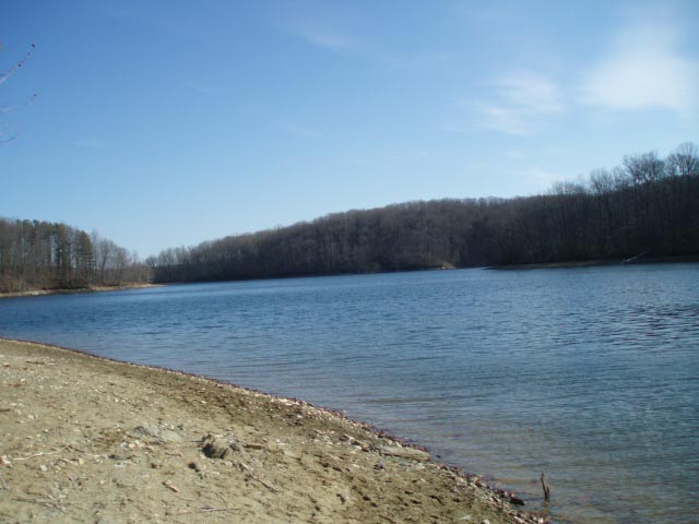
putting together hikes. The Liberty Reservoir watershed is loaded with these trails. While many are out-and-back treks some can be cobbled together to make for some nice loops. This 6.3 mile easy to moderate hike is a combination of a loop hike with a pleasant out-and-back through giant pines to the main lake. You'll pass through other pine and evergreen plantations during the loop part of the hike. The hike along Middle Run is refreshing. There are four stream crossings but only the first one might be problematic. There are a total of three climbs on this trek but they are barely noteworthy if you are in shape. |
|
________________________________________ |
|
|
Trail Notes: Although the trails are not signed or blazed they are quite obvious. If you take this map with you you shouldn't have any problems. From the parking area at the end of Bollinger Mill Road, walk around the orange watershed gate and soon arrive at a "T" intersection. The trail/road to the right will take you past the sometimes submerged ruins of Bollinger Mill and then out to Eagle Point for a grand view of the central lake but that's for another adventure. For now turn left and in a few steps come to a footpath on the right that leads to the back of the cove. Turn right here. When the water is down you can walkout to a small rocky island and see an old bridge abutment across the way.
Return to the main trail and turn right (upstream). Soon the trail will split. The left fork climbs a shallow ridge and parallels the backyards of some homes. (I'm not sure if it encroaches on private property or not. You'll pass the other end on the final leg of the hike.) Bear right, continuing to follow Middle Run. In 0.39 miles turn right and cross the stream. At the "T" intersection on the other side turn right to complete the out-and-back to Piney Point. The trail winds in and out of a cove as it climbs gradually. At around 0.35 miles from the last trail junction you'll pass both ends of a shortcut that is hardly worth considering. In another 0.21 miles enter a pine plantation and arrive at a 4X intersection. Turn right here. (Turning left takes you out to Deer Park Rd., an optional starting point.)
In another 0.24 miles the trail forks. Take the right fork and almost immediately pass another trail on the right. If you look back from here you can see where the 2 trails you just passed used to connect but is now blocked by a fallen tree. From here it is an easy 0.73 mile hike through the pines to the point. The trail stops short of the shoreline but it is an easy task to bushwhack out to it and take in views of the main lake and back down the cove you've been paralleling toward the Bollinger Mill ruins. |
|
After enjoying the views at Piney Point retrace your steps all the way back to the stream crossing. By-pass the ford and begin another gradual climb as you parallel the stream. In 0.31 miles from the ford trail pass a trail on the left that leads back down to Middle Run and enter another evergreen plantation. The trees to the right are pine. Those to the left are either spruce or fir. I haven't identified them yet. In 0.64 miles from the last trail junction arrive at another "T" intersection. A power line swath is right in front of you. Turn left here and in 0.13 miles cross Middle Run. Immediately after the ford another trail comes in on the right. This trail forms a loop that eventually rejoins this hike near the top of the next hill. For this hike, continue straight up the hill passing through a small fir (?) plantation. In 0.16 miles the trail forks. Take the left fork and finish climbing over the last highpoint of the hike. Descend through one more evergreen plantation and in 0.46 miles from the last fork ford the stream again. The stream makes a sharp turn here so in another 0.15 miles re-cross the stream. In another 0.11 miles cross a shallow feeder, immediately arriving at a 4X intersection. In front of you is the trail that climbs up to the houses discussed earlier. Bear left and follow the trail that closely follows the picturesque Middle Run. In 0.21 miles pass your initial ford on the left. Retrace your earlier steps back to your vehicle. Printable/Downloadable Directions and Trail Notes ________________________________________ More Photos
________________________________________ Outing Critiques
Name:
Adventure Runner
Hike: Piney Point / Middle Run ________________________________________ |
|
|