| Pulpit Rock-Pinnacle Loop |
|
|
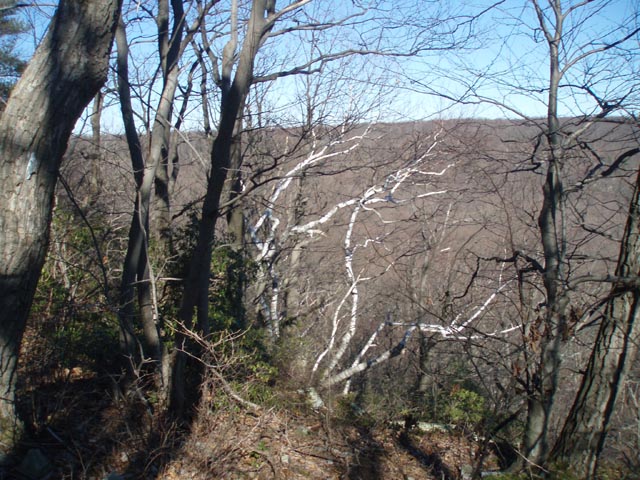
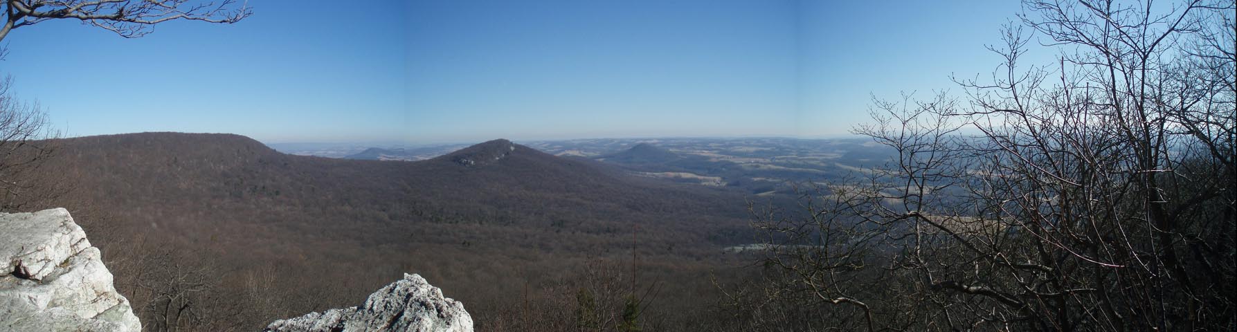
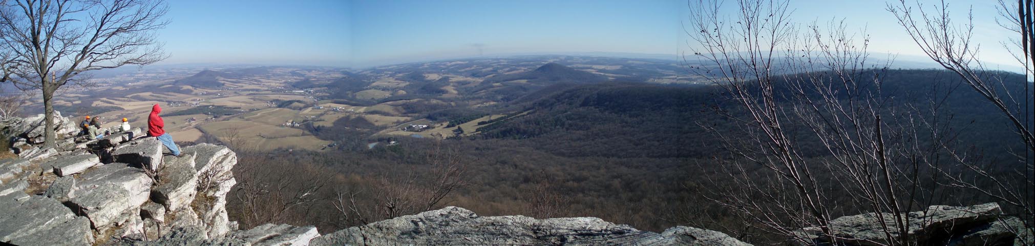
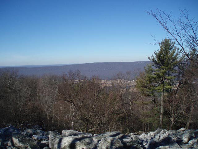
Description: Through hikers consider Pulpit Rock and the Pinnacle to be the two premier vistas on the entire PA stretch of the AT, offering endless views of Lehigh valley and its surrounding ridges. This popularity brings with it a busy parking lot at the Hamburg water treatment plant on any clear weekend day. Arrive early to avoid the crowds. Described here is a moderately difficult 8.7 mile circuit with about 1300 feet in elevation gain. The hardest part begins about 2 miles in as you climb steeply up a rocky slope to Pulpit Rock and the first vista. While most of the climbing is done at that point the very rocky terrain continues for at least another mile. This hike definitely requires sturdy boots. The Pinnacle is �as advertised�. Allow time to take it all in. The last 4 miles offer an easy stroll along old woods road and the descent through the Hemlock filled hollow through which Furnace Creek flows is quite refreshing. |
|
___________________________________ Google Maps Custom Driving Directions Note: Google Maps may tell you to make a turn onto Fisher Court at the end of your drive. It does not exist. You will turn onto Reservoir Road. ___________________________________ |
Zipped National Geographic TOPO! GPS and Universal GPX Files |
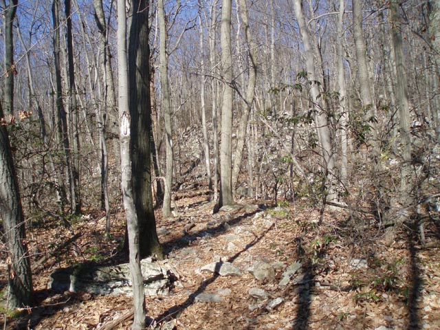
Trail Notes: From the parking lot walk up the gravel road, passing the yellow gate. In 0.52 miles the AT comes in from the left as the road bears right, crossing Furnace Creek on a bridge. Immediately after crossing turn right onto the continuation of the AT. In 0.24 miles turn right onto an old woods road continuing to follow the blazes. In another 0.62 miles pass an unmarked trail on the right (shown as red on the map). In another o.38 miles pass a blue blazed trail on the right that leads to Blue Rocks Campground. Here the AT bends to the left and begins to climb more steeply. In another 0.35 miles the AT turns hard right off of the old woods road it had been following (now blazed blue ahead) and climbs steeply through the rocks for 0.18 miles to Pulpit Rock.
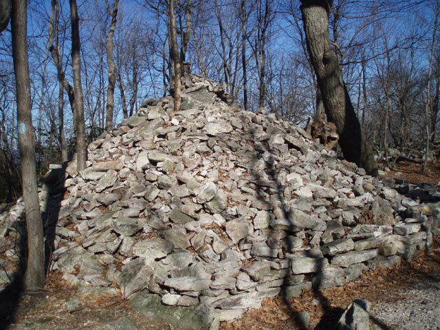
After taking in the view continue climbing slightly through the rocks. The rockiness continues for the next mile or so with little semblance of a trail, just scattered white blazes on trees. Stay along the rim until the trail becomes more obvious. At 1.75 miles from Pulpit Rock pass a yellow blazed trail on the right. In another 0.41 miles arrive at a very large cairn and a short blue blazed spur that leads to the Pinnacle.
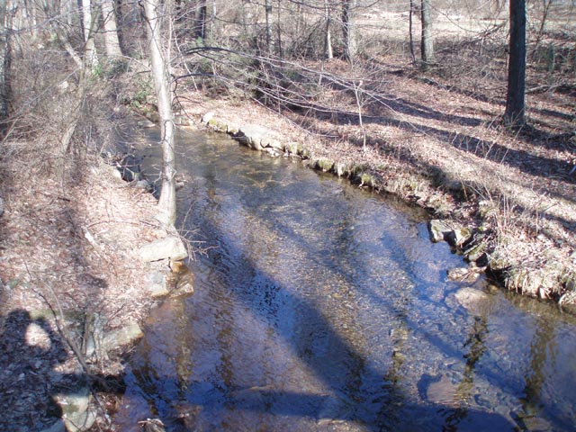
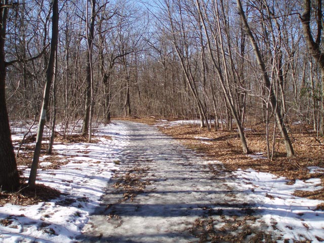
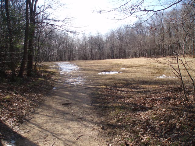
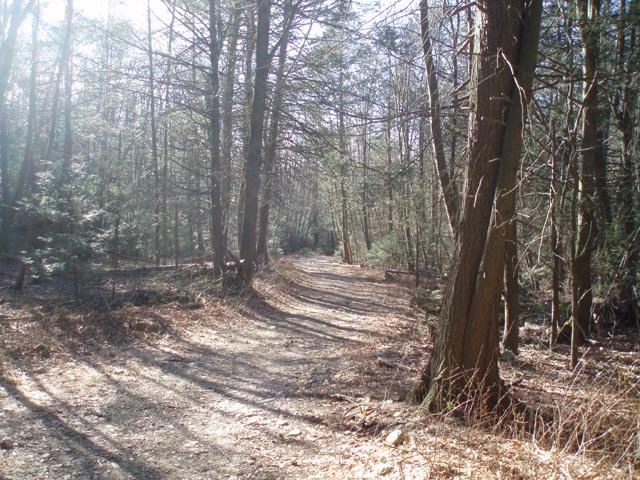
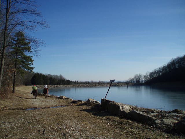
After taking in the view return to the AT and turn right. The next 1.82 miles is an easy walk on an old woods road. About halfway through a clearing called the helicopter pad turn sharp left on a blue blazed trail (another old road) and descend through a Hemlock and Rhododendron forest as Furnace Creek gurgles below you. In 1.33 miles pass Hamburg Reservoir and in another 0.42 miles arrive back at the bridge you crossed earlier. Follow the road back to your vehicle.
|
|
______________________________________
________________________________________ Name: Eric Hike: Pulpit Rock-Pinnacle Loop Dates: 08/31/14 Rating: 4
Critique: Long rocky hike with good views as the payoff. Took much longer than anticipated due to rocky terrain. Bring plenty of water and watch for snakes... we saw two timber rattlers (a first for us in PA!) at the Pinnacle and some other hikers saw copperheads at Pulpit Rock. I would not recommend it for kids less than 8 or 9 years old unless they are accomplished hikers. ________________________________________
Name: Erin Hike: Pulpit Rock-Pinnacle Loop Date(s): 05/31-06/01/14 Rating: 4.8
Critique: Just hiked and camped this trail. I am a novice hiker, this was my first moderate trail. The trail up to Pulpit Rock is extremely difficult. When they say it is rocky, they are not kidding. Very steep, walking on rocks 50% of the trail and often uphill at the same time. But the trail is worth it. We started out at Hamburg Reservoir, and went along the outskirts the long way up to the summit. We climbed beyond Pulpit Rock and camped out right at the top of the Pinnacle. Woke up to see the sun rise, the view was unbelievable. The weather was perfect this time of year, luckily no rain, only got windy at night and brisk in the morning at the summit. Much like the previous poster, we had difficulty pinpointing certain paths of the trail, but with slow progression forward and a little backtracking you can find a White marker that reassures you that you are still on the trail. Pack extra socks (your feet will be battered from walking on rocks everywhere) and take your time on the trip up, that is by far the most difficult part of the whole trail. (Photo taken at Sunrise on the Pinnacle rock edge.)
________________________________________
Name: Kevin
Hike: Pulpit Rock-Pinnacle Loop ________________________________________ |
|
|