|
Stony Man Circuit |
|
|
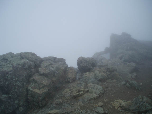
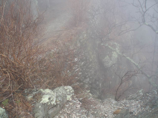
Description: For a mere 3.5 mile, relatively easy hike this trek sure packs in some tremendous vistas. We hiked it on a day when we had to �walk in the clouds� as MSHyker would say so had no views. Still we are determined to come back until we finally capture the grand views we know are there. For the most part the tread is easy walking. There are a couple of short rocky sections on the Passamaquoday Tr. The total elevation gain is only 750 feet, 300 at the beginning and 450 at the very end. The rest of the hike is flat or downhill. Google Maps Custom Driving Directions The hike starts in the day use parking area of Skyland just south of mile post 41 on the west side of the Drive. Look for the kiosk. |
|
________________________________________ |
|
Zipped National Geographic. TOPO! GPS and Universal GPX Files GPS Text File for Non-TOPO! Users
|
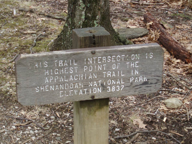
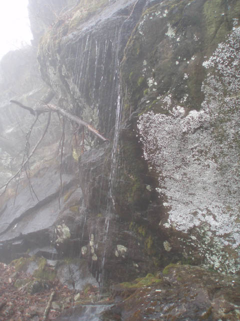
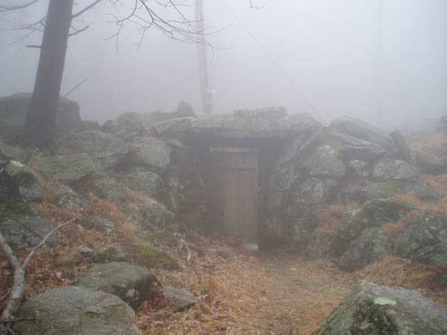
Trail Notes: From the kiosk follow the duel blazed (white and blue) Stony Man Nature/AT trail for 0.41 miles to a 4X intersection. Cross the intersection, following the blue blazes, and in 0.09 miles take the left fork at the split. In 0.24 miles pass a hitching post and proceed out to the primary vista. There is also a nice vista on the left at the end of a short spur that offers equally nice views. After taking in the sites return to the hitching post and bear left. Pass another viewing area before rejoining the main blue trail. Follow it to lower 4X intersection you passed through earlier and turn left onto the white blazed AT. In 0.60 miles walk out onto the Little Stony Man cliffs and take in yet more grand views. The trail seems to end at the northern edge of the cliffs. Turn around. The trail is behind you. Descend via switchbacks for 0.19 miles and turn left onto the blue blazed Passamaquoday Tr. Soon find yourself below the Little Stony Man Cliffs and looking out from another vista. After taking in the view follow the Passamaquoday Tr southward. As you leave the cliff area check out the extensive hillside cribbing constructed to hold up the majority of this trail. At this point it is over 10 feet in height. This was all done with manual labor back in the 30s and 40s � an incredible feat in my eyes! In another 0.27 miles pass a lesser view point. Arrive at another cliff face in 0.15 more miles. During wet periods water trickles off of it in a pleasant shower. This would be a good way to cool off in the summer if it is still flowing. In another 0.48 miles pass Furnace Spring on the left (It looks like a stone tomb with a wooden door. You might hear the hum of a water pump as it sends water up to Skyland Resort. Turn left onto a gravel service road but almost immediately turn left onto a yellow blazed horse trail that goes behind the spring house. Follow the yellow blazes as it passes through one of the few remaining living Hemlock groves in the park, climbing a little over 400 feet in 0.55 miles. Turn left onto another horse trail but in a few steps turn right onto an asphalt path that leads out to the parking lot.
|
|
________________________________________
_______________________________________
|
|
|