|
  |
Last Updated: 10/17/07
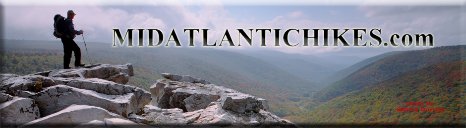
Welcome to a web site full of information on hiking in the Mid-Atlantic Region (PA, MD, VA and WV) ... topo maps, 3-D maps, elevation profiles, GPS data, directions, trail notes, references, photos.... everything you need to prepare for an excursion into the wilderness. Information for 145 hikes is now available. Venues such as, but not limited to, the GWNF-Great North Mt. (North-east and South-west areas), the northern and central sections of the Shenandoah National Park/VA, Massanutten Mt, VA, the Michaux State Forest in PA, the Monongahela National Forest in WV and Green Ridge State Forest in MD are represented.
"Do not go where the path may lead. Go instead where there is no path and leave a trail." - Ralph Waldo Emerson Bulletin Board
10/11/07 - Shenandoah National Park AT and Great North Mountain Water Supply: A fellow hiker and PATC Trail Maintainer, Catherine Kelleher, passed on this valuable hiking info. Review this table to find out if you'll have water issues on an up-coming trek. With regards to the Great North Mountain, VA she reports that the spring at Sugar Knob Cabin is dry. Chuck Randall reports that Sand Spring on Mill Mountain was a mere trickle 2 weeks ago. This means that the streams on Long Mountain are probably also dry.
____________________________________________________________________________
Attention Non - TOPO! Users: Steve Young (Not the retired 49s Quarterback but a frequent visitor to this site) has found a way to convert the National Geographic TOPO! GPS files used here into a format that can be opened by his Delorme TOPOUSA software. Here's the instructions. You can contact Steve directly if you have questions. His E-mail address is at the bottom of the directions.
I quickly examined the site Steve uses and found that it covers many of the popular mapping software packages and GPS units. Here is the site with the necessary downloads: http://www.gpsbabel.org/ Note: We at Midatlantichikes.com have no experience with this free software. Use at your own risk.
____________________________________________________________________________
Latest Published Hike(s):
Dolly Sods Circumnavigation - mod 1, WV |
|
___________________________________________________ |
|
|
|
|
|
|
10-06 to 08-07 - Cranberry Backcountry Backpack Trip (Photos, maps and trail notes to follow): Initially we had 10 folks signed up for this trip but come D-day we were down to four. In a way it was a good thing since tent sites for both nights would be at a premium and we had over 30 miles to cover over 3 days. The longest would be a 14 mile day 2 with over 1400 feet of elevation gain. We would be doing some serious trucking. As Chuck, Lucas and I drove up the entrance road to Summit Lake we decided in unison that we would not hike up this 2.5 mile climb with packs on the final day. One or two of us would hitch a ride up to retrieve our cars. We could have set up a shuttle but overnight parking is not allowed at the North Bend Picnic Area. Gadget Girl was already there when we arrived so we put on our boots, strapped on our packs and headed up a service road to the Pocahontas Trail. Once there we turned east and set a really good pace. This trail is mostly a combination of old woods roads once used by Native Americans and Pioneers. The tread was pretty smooth. When we arrived at Mike's Knob we had plenty of daylight left so we dropped our packs and made the quick detour. We were pretty disappointed when we reached the top. All of the grand views mentioned in the trail guide were grown in. In a way this was a good thing because it meant that the forest was successful in reclaiming its territory. |
|
We grabbed our packs and once again assumed a brisk pace. We rolled into camp at around 5:30. I was concerned about water since all of the streams we had crossed to this point had been as dry as a bone. Fortunately the Left Branch was still flowing with a couple of deep pools to filter from. We set up camp and prepared our dinners. We called it a very early night since we knew we had to cover 14 miles the next day to reach a water cache that two trail angels had humped up Fork Mountain for us the previous Tuesday night. (Susan Chappell and Larry Kearns packed 48 pounds of water for over a mile and stashed it between a boulder and a rock.) We were on the trail by 9:00 the next day. Since none of us have ever backpacked 14 miles in a day before we intentionally tried to retard our pace until we reached the top of Fork Mountain. The next section of the Pocahontas was more of a footpath than a road until we crossed Route 39. We crossed the headwaters of Hills Creek and climbed to the junction with the Fork Mountain Trail where we turned west. Upon arriving at the Falls we topped off our water and paid a brief visit to the first two falls. The slow trickle we encountered did not warrant further exploration of the lower falls. We still had around 11 miles and 1200 feet of elevation gain to complete before dark. After making use of the facilities at the parking lot we started the long climb up. The grade was moderate but all along the way there were these earthen bearms you had to climb over. After the first eight or so they were starting to get quite old. We reached the top but some how missed a turnoff and ended on a gravel road. The map and GPS said that the trail closely followed this road so we followed it to an intersection. To the left happened to be a pretty panoramic view and a couple in a pickup who quickly confirmed the location of the trail. We were back on it in minutes. Once on top we increased our pace again as we hiked through alternating hardwood and coniferous forests. Along one section the presence of busted rock and yellowish Red Spruce fighting to maintain a foothold was evidence of long ago strip mining. After passing through a field of huge boulders my eye caught the glistening of clear plastic at the base of a tree about 40 feet away. It was our water cache!!! We were quite relieved but too tired to gather up the water and schlep it to a campsite so we made do with the ground around us. By the time we hit the trail the next day we had used or replenished our reserves with all but two bottles. Chuck volunteered to carry one out and Pam packed up the other. The final day was spent "roller coastering" up and down small knobs as we once again passed through magnificent stands of Spruce, Hemlock and hardwoods. There were several rock formations that, at times, looked more like miniature fortresses than rock piles. We came upon one gigantic vista but it was created by a massive clear cut logging operation. You could even see where the forest on the distant ridge had recently been logged. After a brief discussion of the pros and cons of clear cutting versus thinning we packed up our cameras and continued on. We found the North Bend Trail easy enough and began our descent back to civilization. About halfway down we came upon a gravel road but no trace of trail signage or blazes. We turned downhill at first and cautiously walked for a bit. I continually watched the evolution of our track on the GPS and it indicated that we were walking away from the trail and towards last night's campsite but at a lower elevation. We reverse marched back up the road until we came to a dead end. The trail sign and blaze were right there. This little "jog" in the trail wasn't shown on any of our maps. Once assured that we were heading in the right direction we increased our pace again only slowing down to maneuver through or around some serious blowdowns. These little episodes were beginning to take their toll on us but eventually we reached the flood plain of the Cherry River. We were at the picnic area in about 20 minutes. As if on cue a retired couple in a truck was just getting ready to pull out when we arrived. They gladly gave me a ride back to the lake to retrieve my truck. I returned to gather up my hiking friends and drove Pam back to her car. We had done most of our freshening up at the picnic area so we said our quick good-byes and began our long drive back to MD and Ripley, WV feeling good about completing a pretty difficult adventure. _______________________________________________________________________________ Latest Outing Critiques
_______________________________________________________________________________
_______________________________________________________________________________
_______________________________________________________________________________
_______________________________________________________________________________
Name: Jeff Hike:
Neighbor Mountain/Jeremy's Run _______________________________________________________________________________
Name:
PowderKeg
Hike:
Black Forest Trail - North _______________________________________________________________________________
|